
UK Cold Snap November 2026? Met Office Forecast, Warnings and Safety Guide
The Met Office does not currently forecast a nationwide November 2026 big freeze. Check the latest UK weather warnings, what yellow, amber and red mean, and how to prepare for fog, frost and power cuts.
Contents
- Is a widespread UK “big freeze” expected in November 2026?
- How to check live Met Office weather warnings for your area
- Yellow, amber and red alerts: what the colours really mean
- What to do when there is no Met Office warning
- How to get weather-warning notifications on your phone
- Cold-weather checklist for the home
- If the power goes out: the useful numbers and essentials
- Fog, ice and travel: how to plan safely
- Could a cold spell trigger extra support with heating bills?
- How to assess alarming UK snow maps and polar-vortex headlines
- Frequently asked questions
- Is the UK facing a nationwide snowstorm in November 2026?
- Does a yellow weather warning mean schools or trains must close?
- Are Met Office warnings the same as UKHSA cold-health alerts?
- What should I do if I receive no warning notification?
- What is the best source for weather warnings in Scotland, Wales and Northern Ireland?
- Official sources and forecast date
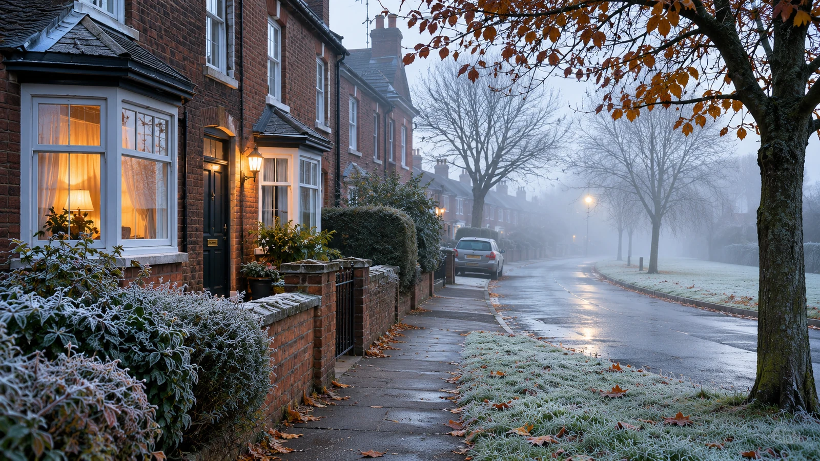
Is a major UK cold snap forecast for November 2026? Not according to the latest Met Office national outlook available on 7 November 2026. Its 5 November fact-check explicitly challenged headlines suggesting a nationwide “big freeze” or widespread disruptive snow. The forecast issued on 6 November allows for local frost, fog and a few wintry showers in the far north, but expects temperatures to be above average overall across much of the later November outlook. That is not a guarantee of mild weather everywhere: conditions and official warnings can change.
This guide shows you exactly where to check the Met Office weather warnings map, how to interpret alert colours, what to do if fog or freezing weather affects your location, and how to protect your household. Forecast check: 7 November 2026; the national forecast cited below was last updated 6 November 2026. For live conditions, use the linked official pages rather than treating this dated report as a real-time warning.
Is a widespread UK “big freeze” expected in November 2026?
The Met Office said on 5 November 2026 that widely circulated claims about a significant early-season freeze were not supported by its near-term forecast. Its assessment pointed to ordinary November variability: cloud, showers and rain, with overnight frost and fog where skies clear. It also cautioned against treating model-based snow maps many days ahead as confirmed snowfall forecasts. See the Met Office’s November weather-headline review.
In the UK national forecast updated on 6 November, the outlook for 11–20 November describes a colder start, a possibility of brief wintry showers in the far north and increasingly changeable conditions thereafter. Temperatures are forecast to be above average overall for that period. For 21 November–5 December, the outlook expects mainly unsettled conditions and temperatures likely to be above normal overall. This is a probabilistic longer-range outlook, not a street-by-street prediction.
| Forecast window | What the Met Office indicated | What residents should do |
|---|---|---|
| 7–10 November | Patchy frost and fog; clouds and showers in some areas; rain reaching the south on Tuesday | Check morning visibility and local travel updates |
| 11–20 November | Initially colder in places; a few wintry showers possible in the far north; later more changeable | Watch your regional forecast rather than nationwide snow headlines |
| 21 November–5 December | Unsettled spells, rain and possible strong winds; temperatures likely above normal overall | Recheck the outlook frequently because longer-range confidence is limited |
How to check live Met Office weather warnings for your area
- Open the official UK weather warnings page. It shows a map and a date selector covering the current warning period.
- Choose the date you need. Do not assume a warning for tomorrow also applies today; check its exact start and end times.
- Select your area or the warning on the map. You can inspect the affected counties or local authorities rather than relying on a nationwide headline.
- Read “What should I expect?” and “What should I do?” These explain likely travel, property or safety impacts and recommended actions.
- Open “Further details”. Check the impact-versus-likelihood matrix, the weather type and any update notes.
- Check your local forecast and relevant travel operator. A warning is impact-based; it does not replace a postcode forecast or rail, road and airport status.
The Met Office warnings guide explains how to read the map and the warning detail panels. A yellow fog warning was displayed for certain areas around 6–7 November; it should not be described as a nationwide snow or cold-weather warning. By the time you read this, the map may have changed.
Yellow, amber and red alerts: what the colours really mean
| Warning colour | Official meaning in practice | Best response |
|---|---|---|
| Yellow | Potential disruption, from relatively modest likely impacts to more serious but less certain impacts; read the detail | Check whether your plans, route or location are affected |
| Amber | Greater likelihood of significant impacts, including travel disruption and possible power cuts or danger | Reconsider non-essential journeys and prepare for service interruptions |
| Red | Dangerous weather with very likely major disruption and risk to life | Act immediately on official advice and avoid unnecessary exposure |
Important: a yellow warning is not automatically minor. The Met Office uses both the probability of impacts and their potential severity. A warning for fog, ice, rain or wind is not interchangeable with a snow warning. Look at the warning’s weather type, named area and precise validity period before sharing it.
What to do when there is no Met Office warning
No warning does not mean “no frost”, “no fog” or “safe roads everywhere”. Isolated frost on a shaded road, reduced visibility at dawn and local flooding can still matter. Conversely, a dramatic snow-coloured map in a headline is not evidence that the Met Office has issued an official alert.
- Use the Met Office national forecast for the national picture, then search for your town or postcode to check local temperature and visibility.
- For a morning journey, check the most recent forecast and official traffic or rail updates just before leaving.
- Check for revised warnings later in the day, especially when the forecast mentions fog, icy conditions, heavy rain or strong winds.
How to get weather-warning notifications on your phone
The Met Office app can send warnings for saved locations, but there is a useful October 2026 update: the Met Office says it migrated its weather-warning notification service in October. Users on app version 3.66 or later should continue receiving alerts for saved locations on iOS 16.4 or later and Android 7 or later. If your phone supports those versions but the app is older, update it; if notification access or device support is restricted, consult the website directly. See the official Met Office app FAQ, question 17.
- Update the Met Office app to the latest version available for your device.
- Check that your home, work or travel locations are saved in the app.
- Make sure your phone allows notifications from the app; check any notification-specific options it offers.
- If alerts are absent or delayed, visit the Met Office warnings website manually. Never assume an app notification is the only way an alert will appear.
Cold-weather checklist for the home
The UK Health Security Agency’s guidance for England, updated in April 2026, recommends trying to heat rooms used frequently, such as a living room or bedroom, to at least 18°C. Individual health needs can differ, and some people need warmer conditions. The guidance particularly highlights older adults, children under five, pregnant women and people with some long-term conditions.
- Test your heating and check the settings before a colder spell arrives.
- Reduce draughts around doors and windows; close curtains after dark and bedroom windows at night if appropriate.
- Wear multiple thinner layers of clothing and keep warm bedding available.
- Keep essential medication, drinking water and ready-to-eat food accessible.
- Check on neighbours or relatives who may be more vulnerable to cold, particularly if they live alone.
- Use heating appliances safely. Never use a barbecue, camping stove or fuel-burning outdoor heater indoors.
If the power goes out: the useful numbers and essentials
Severe weather can disrupt power supplies even when the primary warning is for wind, rain or snow. The UK government’s power-cut preparation guide recommends a battery or wind-up torch, spare batteries, ready-to-eat food, water, charged devices and a plan for any medical equipment that relies on electricity.
| Location | Electricity power-cut reporting number |
|---|---|
| England, Scotland and Wales | 105 (free) |
| Northern Ireland | 03457 643643 |
If you depend on electrically powered medical equipment or need extra help, ask your energy supplier about its Priority Services Register and discuss your backup arrangements with the equipment provider. Keep clear of fallen electricity lines; do not approach or touch them. For immediate danger to life, use the emergency services.
Fog, ice and travel: how to plan safely
During early-November conditions involving fog and frost, visibility may be a more immediate issue than heavy snow. The Met Office warned that dense fog can slow road journeys and disrupt buses, trains or flights in affected areas. A practical departure check can save time:
- Check whether your route is within an active Met Office warning area and its validity hours.
- Look at official road and public transport service updates before departure.
- Allow extra travel time, slow down for visibility and road conditions, and use fog lights only when appropriate under the Highway Code.
- Keep a phone charger, warm clothing, water and emergency essentials available for longer journeys.
- When a warning anticipates serious impacts, postpone non-essential travel and follow local authority or transport operator advice.
Could a cold spell trigger extra support with heating bills?
A weather warning itself does not trigger an automatic benefit. In England, Wales and Northern Ireland, eligible people may receive a £25 Cold Weather Payment for each qualifying seven-day period between 1 November 2026 and 31 March 2027, based on recorded or forecast average temperatures at or below 0°C over seven consecutive days. This is separate from the Met Office warning-colour system and from Winter Fuel Payments. The scheme does not operate in Scotland, which has different support arrangements. Check the official Cold Weather Payment rules and the postcode checker to determine eligibility and weather triggers.
How to assess alarming UK snow maps and polar-vortex headlines
- Check the publication date. A forecast from several days earlier might be superseded.
- Separate a weather model from an official warning. One model run showing snow colours is not confirmation that snow will fall at that location.
- Look for an actual Met Office bulletin. The date, area and expected impacts should be traceable to the original forecast.
- Avoid treating polar-vortex or El Niño discussions as a postcode forecast. These can influence seasonal probabilities but do not establish next week’s local snowfall.
- Compare the short-range and long-range forecast. Long-range language often describes what is possible rather than what is certain.
The Met Office specifically addressed sensational snow maps in its 5 November analysis. Its commentary explains why isolated frost or northern wintry showers should not be presented as an imminent widespread freeze.
Frequently asked questions
Is the UK facing a nationwide snowstorm in November 2026?
The Met Office assessment and national outlook reviewed on 7 November do not support a confirmed nationwide, disruptive snowstorm. They allow for local frost and fog and possible short-lived wintry showers in the far north. Continue checking the live warnings page as the forecast changes.
Does a yellow weather warning mean schools or trains must close?
No. A yellow warning highlights potential impacts, not an automatic closure. Check local authority announcements, your school and the relevant train operator for any actual disruption.
Are Met Office warnings the same as UKHSA cold-health alerts?
No. Met Office National Severe Weather Warnings cover potential impacts from hazardous weather, while UKHSA’s cold-health alert system supports health and social-care preparedness in England. They serve different purposes and should not be confused.
What should I do if I receive no warning notification?
Check the live Met Office website, update the app, verify your saved locations and phone notification permissions, and consult the current app FAQ. An absence of push notifications does not prove there are no warnings.
What is the best source for weather warnings in Scotland, Wales and Northern Ireland?
The Met Office UK warnings page covers the UK. For local emergency instructions, travel disruption or school closures, also consult the relevant devolved government, council and transport provider.
Official sources and forecast date
- Met Office: latest UK forecast (national outlook checked 7 November 2026; forecast text issued 6 November).
- Met Office: “Big freeze”? “Snow flurries”? Weather headline review (5 November 2026).
- Met Office: live UK weather warnings and warning-colour guide.
- Met Office: app FAQ (notification service update, October 2026).
- UK Health Security Agency: keeping warm and well (applies to England).
- UK Government Prepare: power cuts and Cold Weather Payment.
Editorial note: This article is an informational forecast snapshot from 7 November 2026, not a live weather feed or an official warning. Warnings may be issued, updated or withdrawn after the time of checking. The featured picture is an illustration, not a photograph of the forecast event.
You may also like
 UK Guides
UK Black Sky Event Explained: Power, Internet and Radio
What is a UK Black Sky event? Understand power and internet disruption, FM radio, official preparation advice and…
 UK Guides
UK ETA Rejected vs Refused: Can You Reapply or Do You Need a Visa?
UK ETA rejected or refused? Check the difference, when to reapply, when to seek a Visitor visa, current…
 UK Guides
£100 Energy Payment: Council Tax Bands and Eligibility
Check the £100 Household Energy Payment, Council Tax bands, official postcode search and January 2027 payment arrangements in…